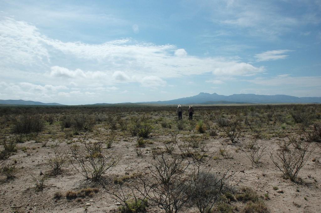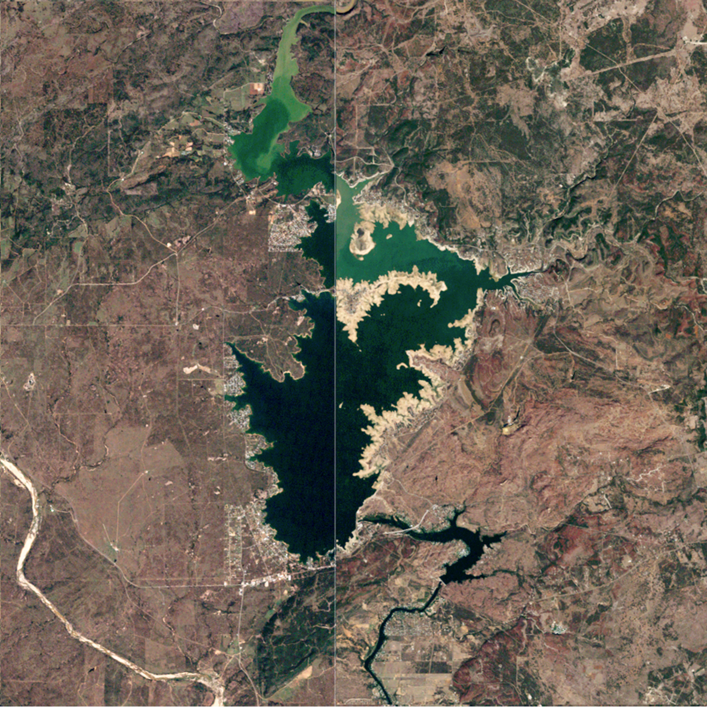
June 17th is the United Nations’ designated “World Day to Combat Desertification and Drought.” It’s meant to raise awareness of the fragile nature of semi-arid lands — those receiving less than 20 inches of rainfall per year — and of how decisions we make can alter the health and resiliency of these areas.
Deserts are generally classified as lands receiving less than around 10 inches of rainfall annually. Think of most of the southwest U.S.
Desertification refers to the conversion of semi-arid lands to the sparsely vegetated landscapes typical of deserts — changes caused primarily by human activities and climatic variations. Semi-arid lands are extremely vulnerable to overexploitation and inappropriate land use.
Given that much of Texas and the southwest U.S. are in some stage of drought or abnormally dry conditions, now is a good time to take a look at land degradation in our own state and at what role Planet Texas 2050 can play in helping to understand and combat the problem.
In the 1800s, Texas’s grasslands and savannas drew many thousands of pioneers, who settled here and turned much of the state into ranchland. Even today, these lands continue to form the backbone of rural life in our state and are an incredibly important asset. They are emblematic of Texas’s rugged culture and also provide important sources of economic activity, from ranching to irrigated agriculture to hunting and — not least of all — tourism. But, these areas are also undergoing significant changes from human activity, be it from energy development or general infrastructure expansion. Add to that the potential for warmer and drier conditions in the region’s future, and these semi-arid lands are put at great risk. To be sure, they require special attention.
Why? Because we know from history that desertification can significantly harm societies.
As Jared Diamond wrote in his 2005 book Collapse, the alteration of fragile arid/semi-arid land through human activity, overpopulation, and unwise political choices all contributed to the decline of numerous societies, from the Maya to the Anasazi.
Those landscape changes altered water balance, fertility, and soil quality — essentially, use of the land as an agricultural pathway to sustain human advancement.
How do we balance the competing pressures and interests so that those living in the rural lands of western Texas can maintain the culture and quality of life of their ancestors as Texas continues to provide energy and agricultural products to the nation — all the while maintaining a resilient and quality ecosystem for the future? How should we manage these lands to prevent the Chihuahuan Desert from migrating eastward and altering the semi-arid landscapes of West Texas?
Planet Texas 2050 aims to increase resilience in both urban centers and throughout rural Texas. To do that, we’ve launched a project this summer that specifically address water availability.
How Much Water Is in Texas?
Our researchers are attempting to answer a critical question: How much water do we have in the state? It’s not an easy question to answer. Amounts vary constantly based on the weather or the particular location being observed. But now, our team will be making an account of all the water in Texas’s aquifers, rivers, ponds, reservoirs, soil, and in the atmosphere. We need to understand where the water is located and how to effectively incorporate these water “pools” into a single analysis platform connected to water usage, particularly as populations increase and if intense droughts become more frequent.

We seek — through research, analyses, and discussions — to understand how our decisions about land use affect the health of our diverse lands and the benefits we get from them. Energy infrastructure, agriculture, urbanization, and other land uses all provide benefits to us as people. But smart planning and decisions are needed to preserve the landscape and avoid desertification as Texas moves into the middle of the 21st century.

